Barnes in the Domesday Book
Barnes first appears in the historical record long before the Norman Conquest. In 925, King Athelstan granted eight hides of land at “Berne” to the canons of St Paul’s Cathedral, London. This charter (S 453) is the earliest documented reference to the settlement that would become Barnes.
The Name
The name “Berne” derives from the Old English bere-aern – “bere” meaning barley and “aern” meaning a building or storehouse. Barnes was, quite literally, a place of barns for grain. This agricultural etymology reflects the settlement’s character as a centre for storing and processing cereals, likely serving the needs of St Paul’s Cathedral.
The Domesday Entry
When William the Conqueror’s great survey was compiled in 1086, Barnes was recorded under the Brixton Hundred of Surrey:
- Name: Berne
- Assessment: 8 hides
- Population: 14 households (10 villagers, 4 smallholders)
- Ploughlands: 6 ploughlands (with 2 lord’s plough teams and 3 men’s plough teams working)
- Meadow: 20 acres
- Value: £7 per year (up from £6 in 1066)
The manor was held by the Canons of St Paul’s, London, both before and after the Conquest – a rare continuity of ownership in a period when most English estates were seized by Norman lords. Barnes had originally formed part of the larger manor of Mortlake, belonging to the Archbishop of Canterbury, and was held in feudal tenure from the archbishop. The parish paid its geld (tax) jointly with Mortlake.
A Picture of Barnes in 1086
The Domesday entry paints a picture of a small agricultural settlement, home to perhaps 60 to 70 people. The community occupied a distinctive position: nestled in a loop of the Thames, with the river curving around it on three sides. The northern reaches near the river were low-lying and prone to flooding, but the 20 acres of meadow along the banks were a valuable resource for hay and grazing. Higher ground to the south offered gravelly soil suitable for arable farming.
There is no mention of woodland, fisheries, or a church in the Domesday entry for Barnes – though a church may well have existed, and fishing rights on the Thames may have belonged to the Archbishop through Mortlake. The absence of recorded fisheries, despite the Thames-side location, is a notable curiosity.
After Domesday
The assessment of Barnes fell from 8 hides in 1086 to just 4 hides by 1222, when the Dean and Chapter of St Paul’s surveyed their manors. At that date, Barnes was required to plough 12 acres of the archbishop’s land – 8 acres by the villeins and 4 by the canons’ farmers.
The canons of St Paul’s continued to hold the manor for centuries, except during the Commonwealth period (1649–1660). The medieval manor house, which stood on the site later known as Barn Elms, was the centre of the estate until it was demolished in 1694 and replaced with a late seventeenth-century mansion.
Image sources
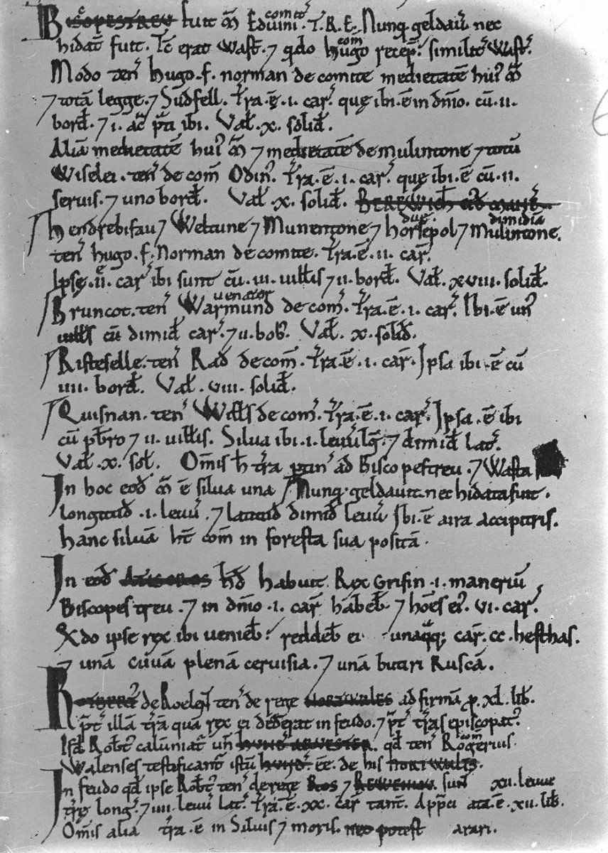
- domesday-book.webp — Page from the Domesday Book manuscripts. Author: Percy Benzie Abery / National Library of Wales. License: CC0. Source
Sources
- Open Domesday – Barnes entry
- Victoria County History, Surrey, Vol. 4 – Parishes: Barnes
- Electronic Sawyer S 453 – King Athelstan’s charter
- Barnes and Mortlake History Society – History and Timeline