Getting to and around Barnes
Barnes sits on a loop of the Thames, a geographical quirk that gives the area its village character but limits its transport connections. There is no Underground station: the nearest are Hammersmith and Putney Bridge on the District line. Since the closure of Hammersmith Bridge to motor traffic in April 2019, road access has been significantly restricted, making the railway and bus network more important than ever.
Rail
Two stations serve Barnes, both operated by South Western Railway in fare zone 3.
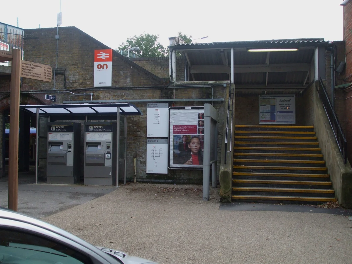
Barnes Station opened on 27 July 1846 on the new line to Richmond. Designed in Tudor Gothic style, it is the last remaining brick-built station of its kind on the branch and holds Grade II listed status. In 1849 it became a junction when the Hounslow Loop Line opened. In February 2025, a new footbridge with three lifts provided step-free access to all three platforms for the first time – an £8.3 million project under the Access for All programme.
Barnes Bridge Station opened on 12 March 1916, the last new station built by the London and South Western Railway. Perched on the southern approach to Barnes Railway Bridge, it is easy to miss from street level.
Trains run to London Waterloo in approximately twenty minutes. The Hounslow Loop provides connections to Chiswick, Brentford, Isleworth and Hounslow, with onward services to Reading and Windsor.
Bus
The closure of Hammersmith Bridge forced major changes to bus routes. Route 33 (Fulwell–Richmond–Barnes) was truncated at Castelnau. Route 72, which once ran through Barnes from Hammersmith to Roehampton, no longer serves the area during the day. Route 533, introduced in 2019, provides a replacement link to Hammersmith via Chiswick Bridge and Mortlake. Route 209 connects Castelnau with Mortlake via Barnes High Street, The Terrace and Barnes Bridge Station. Route 485 links Castelnau to Wandsworth via Barnes Pond, Lower Richmond Road and Putney.
Hammersmith Bridge
Hammersmith Bridge, built in 1887 to a design by Sir Joseph Bazalgette, has been closed to motor traffic since April 2019 after structural defects were found. It was briefly closed entirely in August 2020 before reopening for pedestrians and cyclists in July 2021. As of early 2025, the main carriageway had been reopened to foot and cycle traffic following deck repairs costing £2.9 million. Full restoration for vehicles is not expected before 2027 at the earliest, with some estimates suggesting 2035 (as of 2025).
The closure affected some 25,000 daily vehicle journeys (as of 2019), of which about 16,000 were redistributed to other bridges, and altered emergency service response times to Barnes. It has also made pedestrian and cycling connections across the bridge more important than ever.
For a comprehensive account of the bridge’s history — from William Tierney Clark’s 1827 original through the IRA attacks to the ongoing restoration debates — see Hammersmith Bridge: The Saga.
Cycling and Walking
The Thames Path runs through Barnes along the river, forming part of a traffic-free corridor between Putney and Richmond. Barnes Common and Putney Lower Common offer additional walking routes. A popular circular walk of about four miles takes in Barnes Common, the Leg o’ Mutton Nature Reserve, the riverside flood wall and Barnes Pond.
Since March 2020, the London Borough of Richmond has imposed a 20 mph speed limit on 97% of its roads. Santander Cycles docking stations are available in nearby Putney but do not extend into Barnes itself.
For detailed information on cycling routes, infrastructure, and cycling culture in the area, see Cycling in Barnes.
Parking
On-street parking in Barnes is managed through Controlled Parking Zones B1 and B2, and emission-based resident permits apply. Pay-and-display bays are available on Church Road, while Rocks Lane offers additional car park space. For full details on zones, permits, electric vehicle charging, and event-day restrictions, see Parking in Barnes.
Image sources
- transport.webp — Barnes station. Author: Sunil060902. License: CC BY-SA 3.0. Source
Sources
- Barnes railway station – Wikipedia
- Barnes Bridge railway station – Wikipedia
- Hammersmith Bridge – Wikipedia
- Route 33 – Transport for London
- Barnes Station – South Western Railway